
Mississippi River
Mississippi River
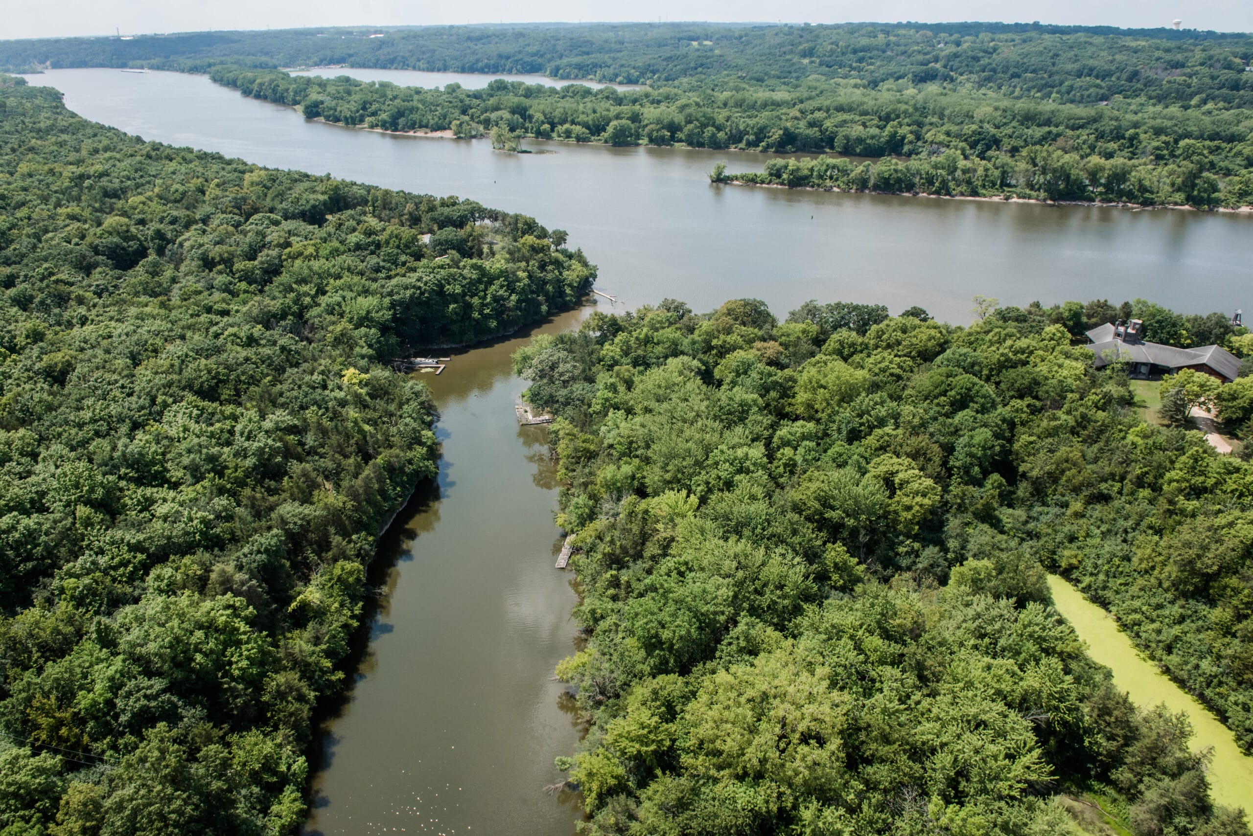
The Mighty Mississippi begins its journey in northern Minnesota at Lake Itasca and flows 2350 miles to the Gulf. Along the way, the river passes through ten states and provides drinking water to fifty major cities. In the Twin Cities metro, the Mississippi forms the western and southern border of the South Washington Watershed District (21 miles), passing through the communities of Newport, St. Paul Park, Grey Cloud Township, Cottage Grove, Denmark Township, and Hastings. The segment of the river between Lock and Dam #1 (St. Paul) and #2 (Hastings) is known as Pool 2. Here, the river is also part of the Mississippi National River and Recreation Area, which is managed by the National Park Service.
Water Quality in the Mississippi River
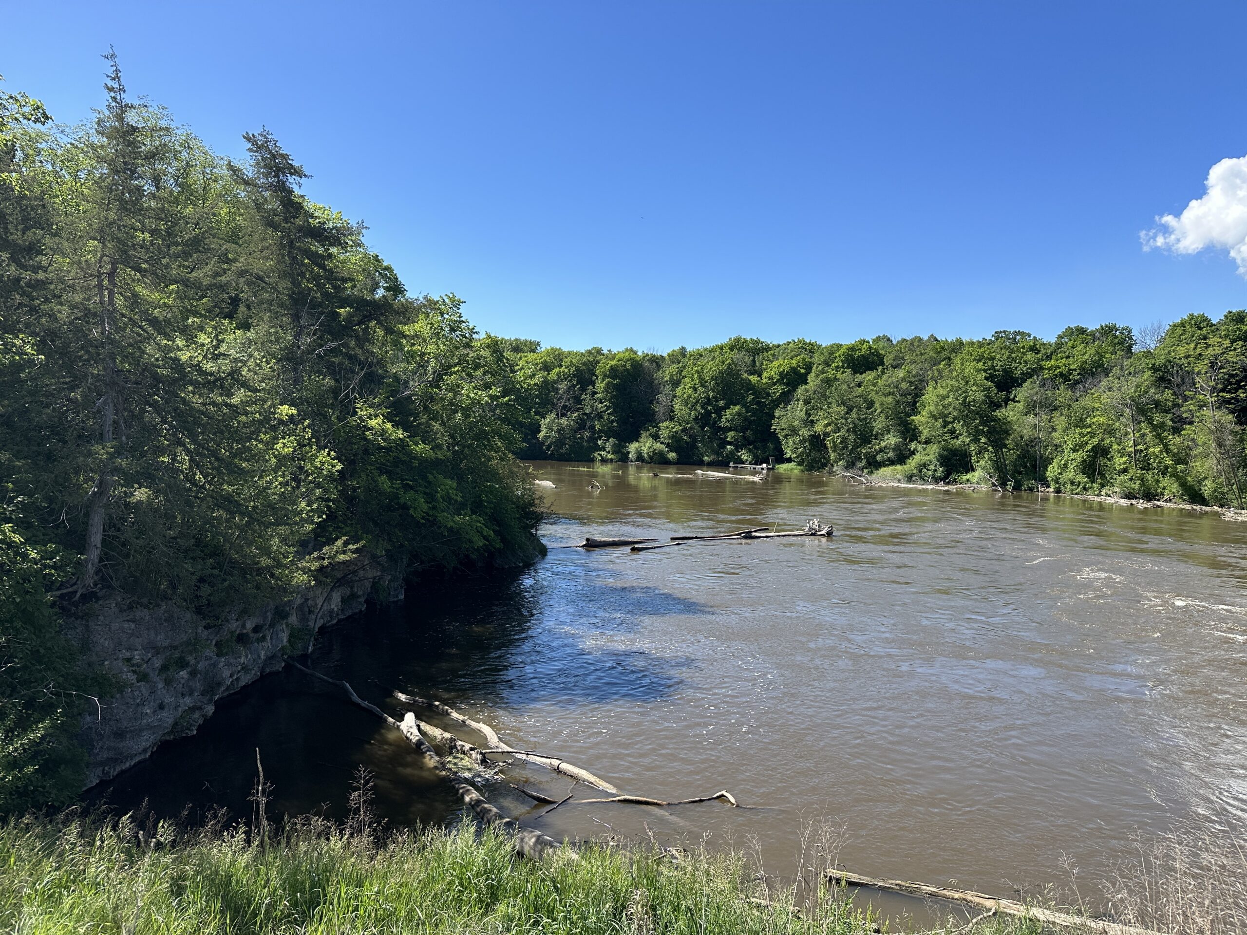
Once upon a time, the Mississippi River flowed wild and free, with waterfalls and braided channels. The river was home to an amazing assortment of fish, freshwater mussels, otters, birds, turtles, and deer. Sometimes the water ran deep and fast, but in sections of the Upper Mississippi south of Lake Pepin, the water was sometimes shallow enough that people could walk across from one bank to the other in the late summer and early fall.
A little less upon a time, the Mississippi River was a dumping ground for human sewage, garbage, and carcasses from the local slaughterhouses. When biologists conducted a survey of the metro Mississippi in Minneapolis – St. Paul in 1926, they found only three living fish in 50 miles of water.
Today, the Mississippi tops American Rivers’ list of Most Endangered Rivers. Though pristine at its headwaters in northern Minnesota, the river is so polluted by the time it reaches the Gulf that it creates an anoxic “dead zone” the size of New Jersey. There, the water is filled with bluegreen algae and virtually devoid of shrimp, fish and other sea life. Most of the sediment and nitrogen pollution in the Mississippi comes from agricultural lands along the river and its tributaries.
One major positive change for the Mississippi River has been the advent of wastewater treatment. The Metro Plant, located just west of Pig’s Eye on the Mississippi River, was built in 1938 and is one of the largest wastewater treatment plants in the nation. It treats 180–225 million gallons of sewage from 66 Minnesota cities every day, removing pollutants, solids, and bacteria before discharging the water into the river. In addition, the Federal Clean Water Act of 1972 established water quality standards and regulations for industry. As a result, the metro Mississippi River today is actually cleaner and healthier than it was in 1926.
Currently, Pool 2 of the Mississippi River supports an award-winning bass fishery, numerous pairs of nesting bald eagles, a wide diversity of fish, and even freshwater mussels, in locations where they’ve been re-introduced.
Projects to protect the Mississippi River in SWWD
Restoring the Grey Cloud Channel
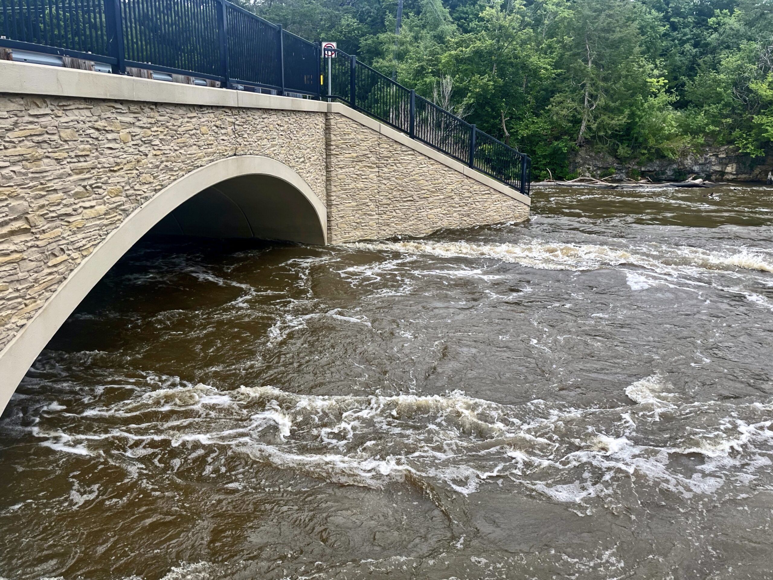
Catastrophic flooding damaged a pair of culverts in Grey Cloud Island in 1965, preventing water from flowing through the Grey Cloud Slough for more than 50 years. In 2018, Washington County and South Washington Watershed District completed the Grey Cloud Restoration project, and the construction of a new bridge along Hwy 75, enabling water to flow freely through the channel again. The project was partially funded by an appropriation from the Minnesota State Legislature, via the Clean Water Fund.
Reducing stormwater runoff pollution
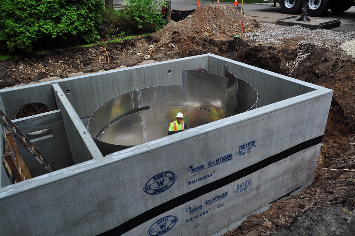
SWWD has helped local communities to complete numerous stormwater reduction projects along the Mississippi River, including underground treatment facilities in Newport and St. Paul Park. The East Mississippi Underground BMP project has helped to remove around 22 tons of polluting debris from entering the river each year.
Habitat restoration
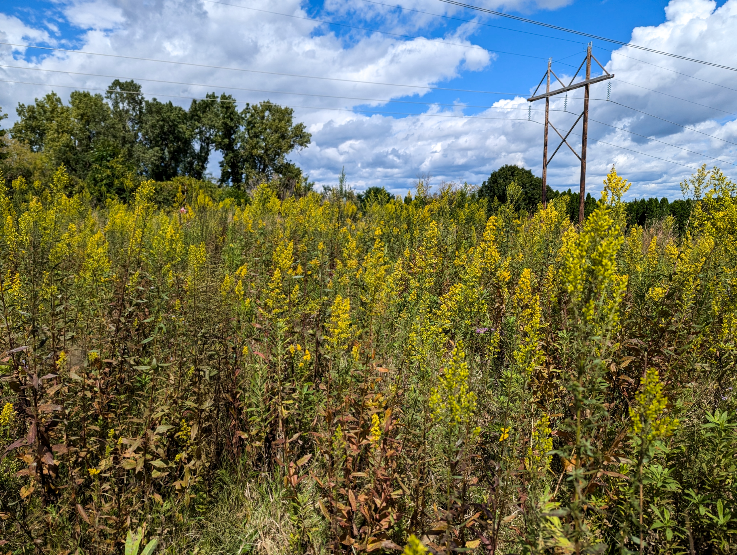
Habitat restoration efforts at Bailey School Forest (Newport), Riverside Park (St. Paul Park), and Cottage Grove Ravine Regional Park help to support pollinators, birds, and other wildlife that use the Mississippi River as a migratory corridor. These projects also help to reduce stormwater runoff to the Mississippi River. In addition, SWWD has worked with 3M to restore segments of the stream that flows from Cottage Grove Ravine Lake to the Mississippi River.
Visit the Mississippi River in SWWD
By boat
Though the Mississippi River connects us all, it isn’t always easy to get out on the water in our district. There is trailer access to the river at Lion’s Levee Park in St. Paul Park, as well as canoe/kayak access and rental at Mooer’s Park in Cottage Grove. Refer to Map 10 of the Mississippi River State Water Trail (Minnesota DNR) for a route description and river navigation information.
By land
You can walk along the water’s edge at Lion’s Levee and Riverside Park in St. Paul Park, as well as Hazen P. Mooers Park and Mississippi Dunes Reserve in Cottage Grove. At Grey Cloud Dunes Scientific and Natural Area, you can also explore remnant prairie near the river. The SNA does not have maintained trails, but does have beautiful views of the Mississippi down below.
To see the confluence of the St. Croix and Mississippi Rivers, head to Point Douglas Park in Denmark Twp, where there is a beach, fishing pier, and canoe/kayak launch, as well as tables for picnicking. There is also a newly completed 2.5-mile paved trail that follows the Mississippi River to Hastings. You can walk along it for a short distance to get an up-close view of the bridges, downtown Prescott, and occasional trains passing by. Or, during the summer, you can bike further along the Mississippi to Hwy 61, where a pedestrian bridge and trail lead across the river into Hastings. From there, a network of trails in Dakota County lead onward to Lock and Dam #2, Schaar’s Bluff, and north to St. Paul.
Explore more waters
-
Armstrong Lake
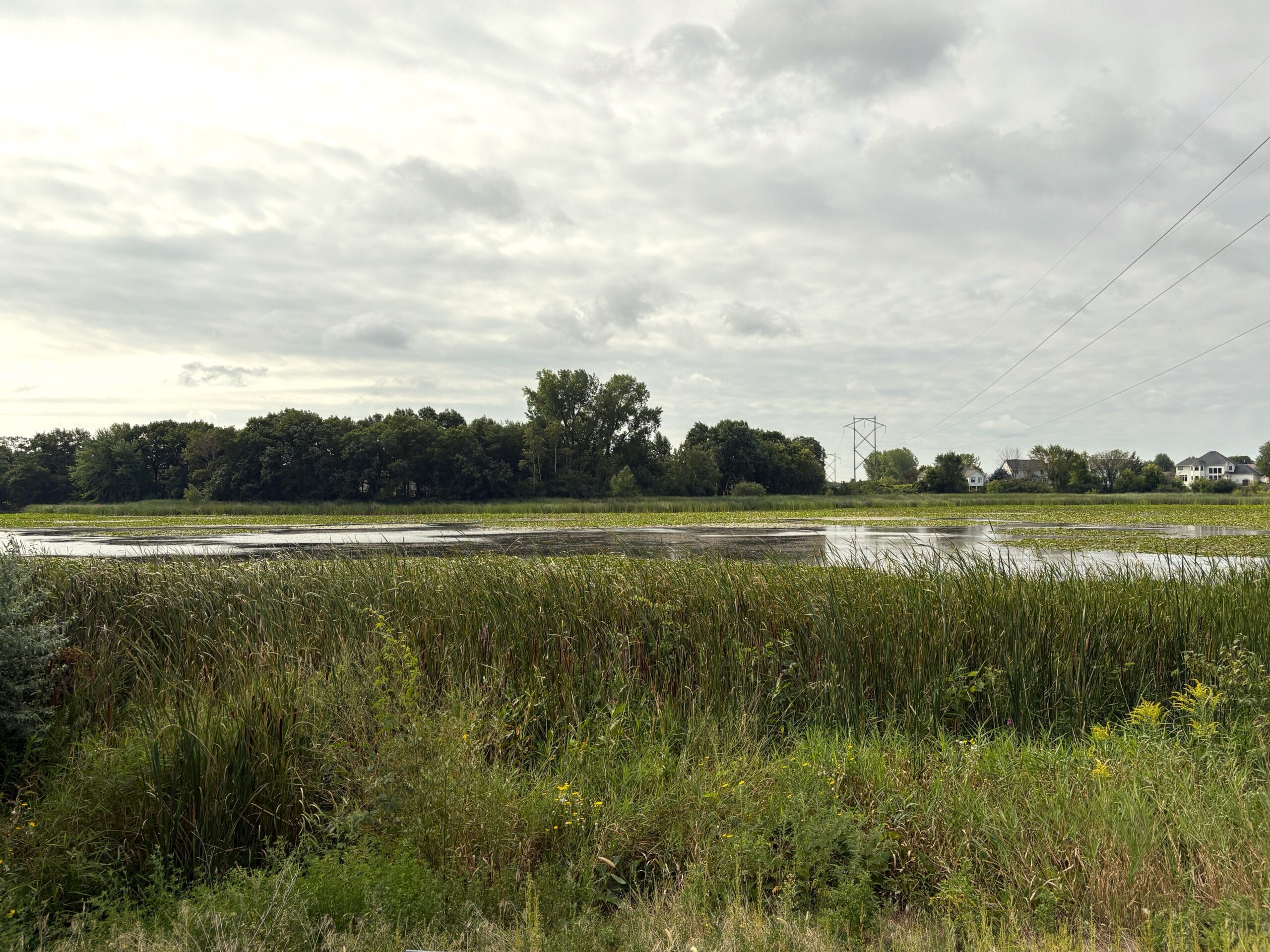
Armstrong Lake is made up of a northern and southern portion located across two cities. The northern portion is located in Lake Elmo, MN. The southern portion is located in Oakdale, MN.
-
Bailey Lake
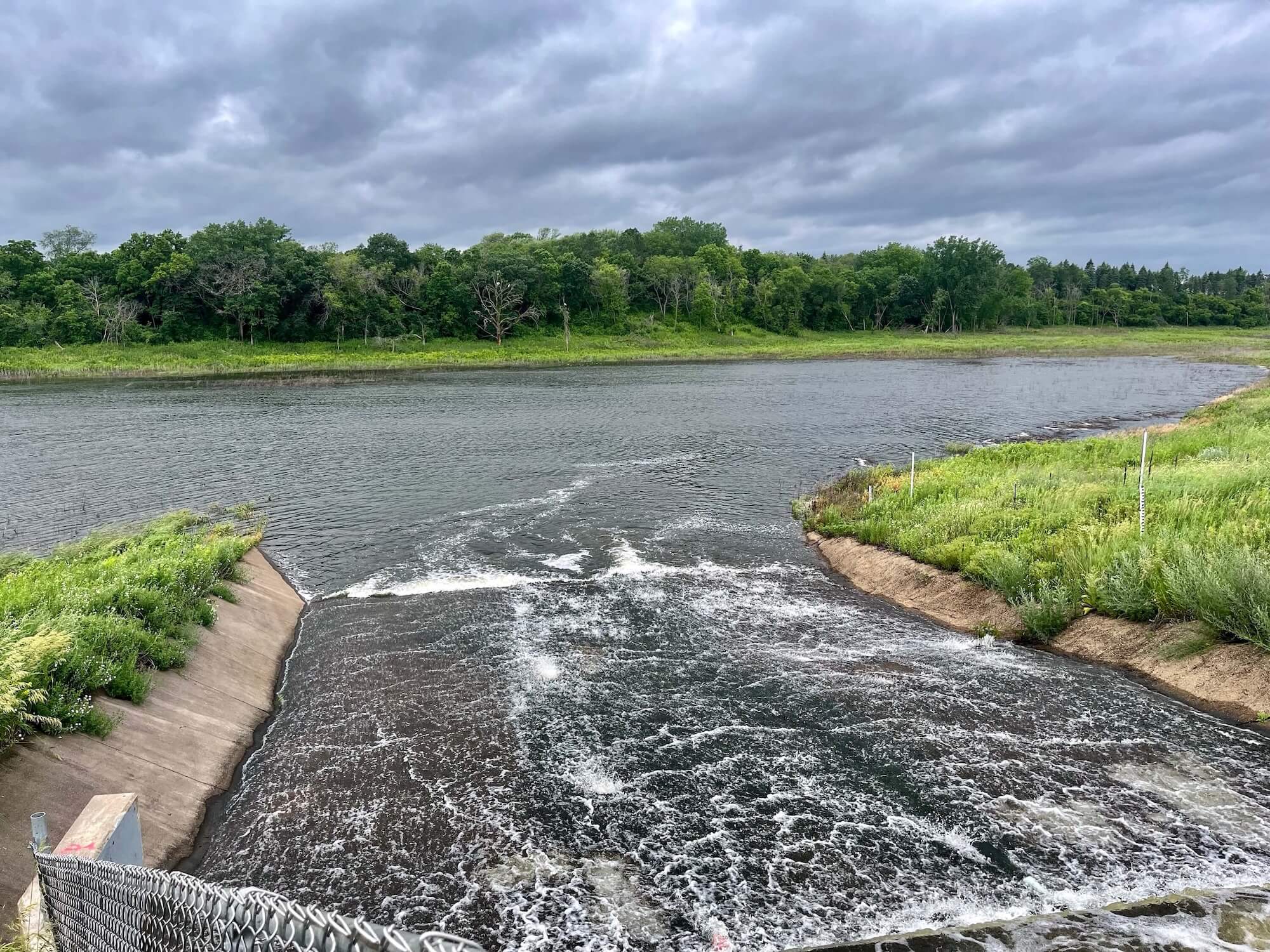
Bailey Lake is a historically dry lake that has even been used as farm land. Today, Bailey Lake now permanently holds water as a result of increased development throughout the area.
-
Colby Lake
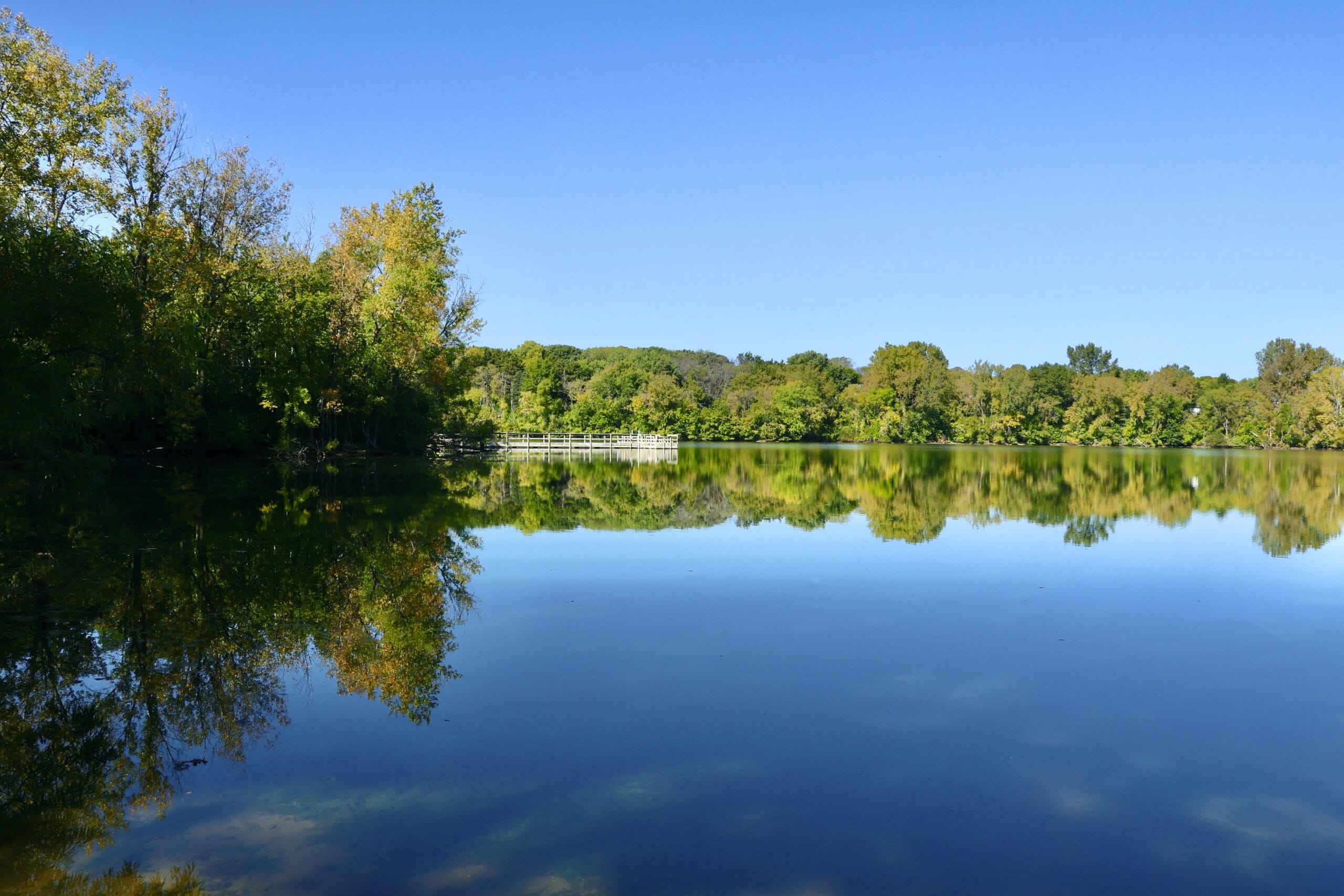
Colby Lake is a shallow lake located in Woodbury. It is part of a multi-lake system, receiving water from Wilmes Lake to its north and contributing water downstream to the Bailey Lake wetland.