
St. Croix Bluffs Restoration
Project Overview
Protection from erosion
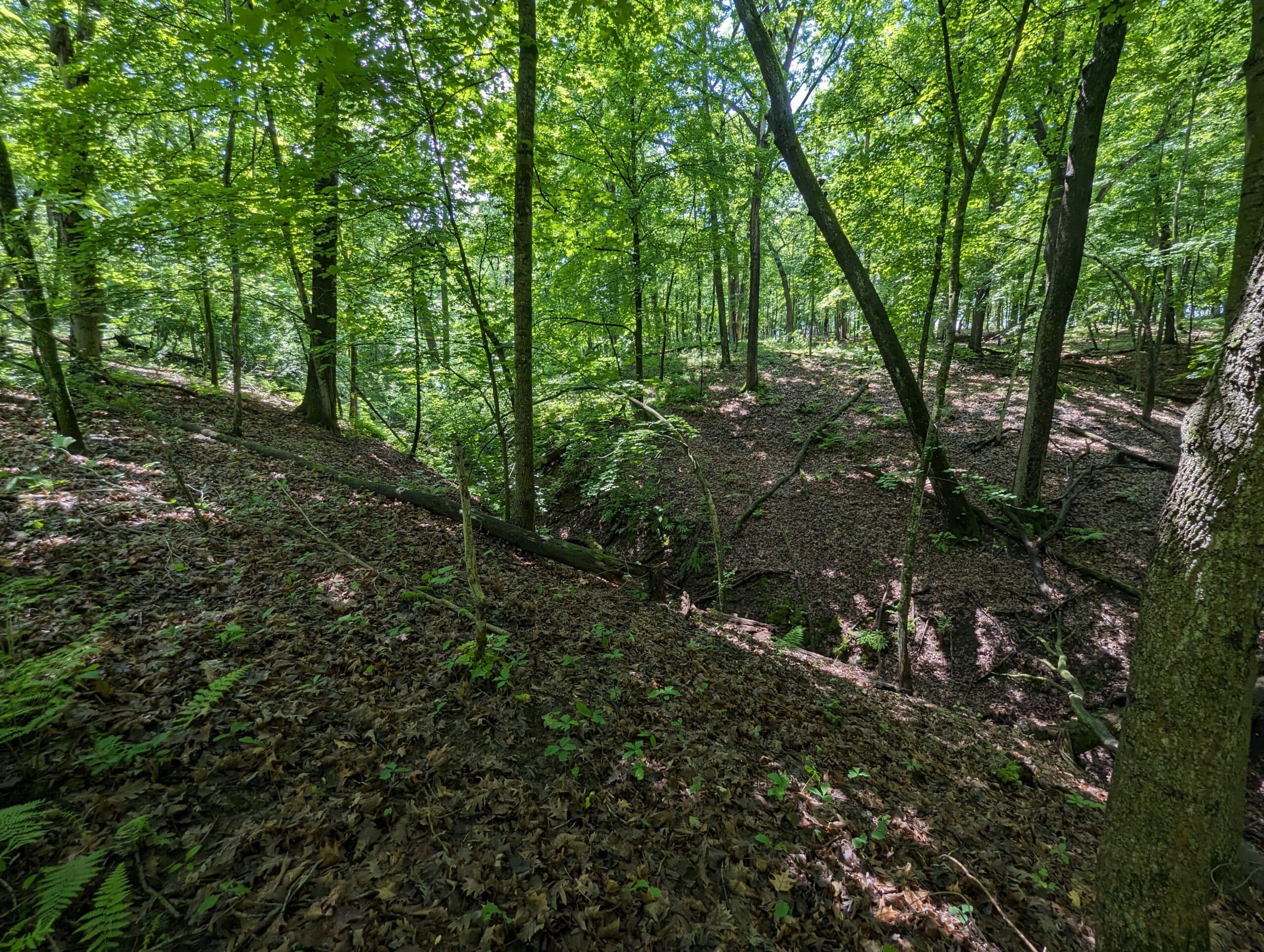
Along the St. Croix bluffs at St. Croix Bluffs Regional Park, several ravines began to erode. Together, with Washington County, the South Washington Watershed District identified two ravines for a targeted stabilization and restoration project. This project protected the bluff from collapse, prevented sediment from entering the St. Croix River, and protected existing park structures and recreation areas.

State of erosion
The bluffs along the St. Croix River features a diverse landscape, with rocky outcrops, karst features, small lakes, and wetlands. Historically, this area was used heavily in agricultural production. These practices have changed the landscape, creating weaker bluffs and ravines more prone to erosion.
When bluffs and ravines erode into the St. Croix River below, it results in excess sedimentation into the river, water pollution, and increases the volume of water flow into the river.
Excess sedimentation into the river increases two primary pollutants: total suspended sediments (TSS) and total phosphorus (TP). On top of increasing turbidity, or the clarity of water, erosion of sediments into the river carries with it a large load of nutrients, such as phosphorus. High levels of phosphorus encourage algal blooms, which further reduce water clarity, and negatively impact ecological habitats, and recreation.
Water pollution occurs when eroding sediment from the bluffs falls into the river, carrying phosphorus with it. The erosion was estimated to deposit around 22.78 pounds of excess phosphorus per year into the St. Croix River.
Increased flow volume and rate refers to the speed and amount of water that flows over a surface. When flow volume and rate increase, it causes even more erosion and instability, which causes more water pollution and sedimentation.
Impact on park recreation
Erosion of the bluffs also impacts recreation at the St. Croix Bluffs Regional Park. The park is regularly used recreationally by the public. A trail along the river was planned, but the conditions made the future trail a public safety concern.
Restoration and rehabilitation
Several practices were implemented to restore the bluff and prevent more erosion and water pollution. Combined, these practices reduce sediment loading by an estimated 20.85 tons annually, and total phosphorus loading to the St. Croix River by 22.78 pounds annually.
Bioretention basins
Four upland native prairie bioretention basins were installed. These basins contain water as it flows, and give it time to infiltrate into the ground, instead over topping the bluff as runoff and flowing into the ravine. The addition of native plants also provided additional pollinator food and habitat.
Channel restructuring
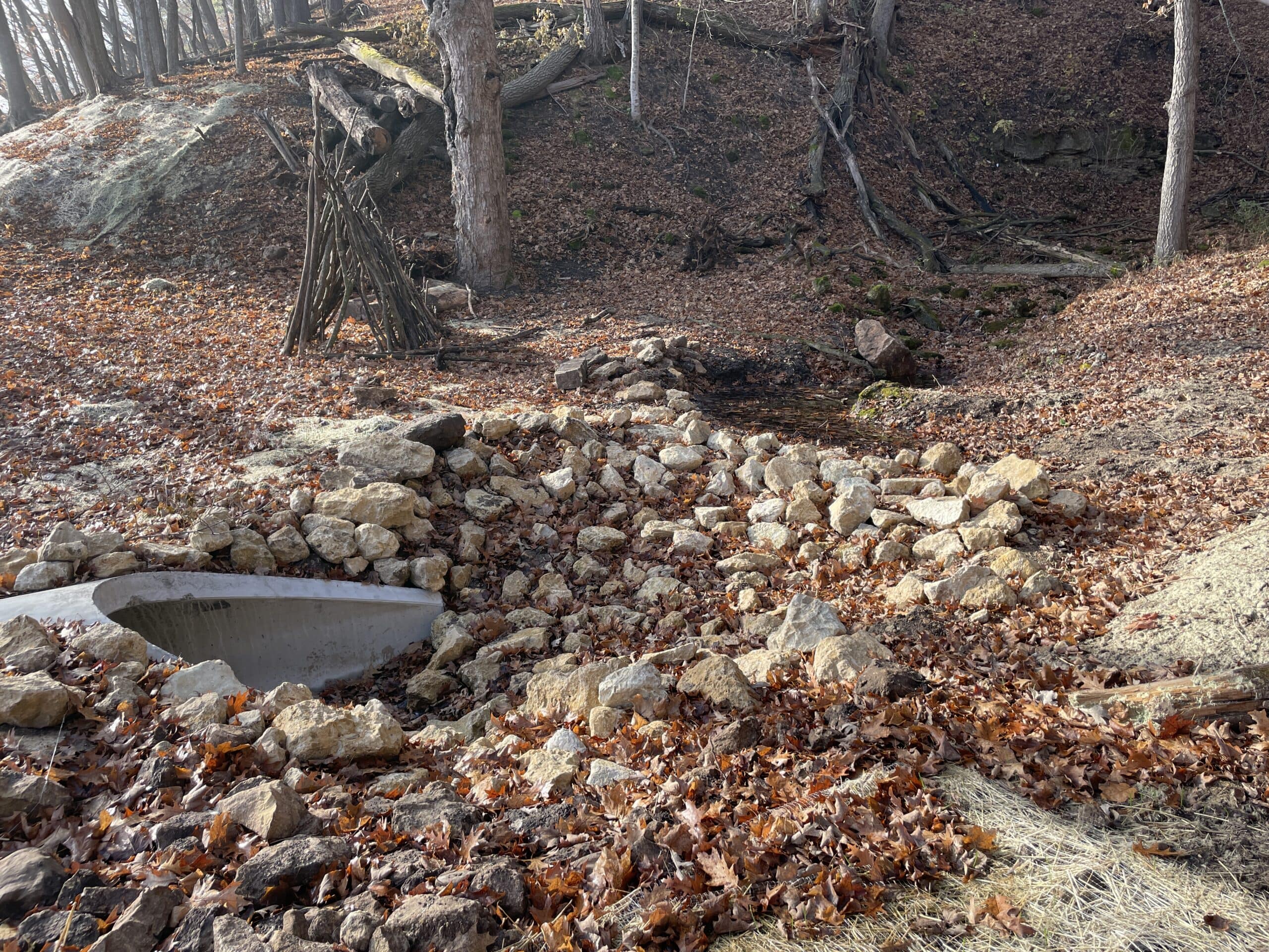
A combination of channel riprap, check dams, and drop structures were installed in the most actively eroding ravine section. Parts of the canopy were cleared and native understory vegetation was planted. Opening up the overstory tree canopy created better conditions for understory vegetation to grow and establish deep root structures that prevent erosion.
Embankment stabilization
The culvert under the old railroad grade was 50% repaired and the other 50% reconstructed, and the side slopes were stabilized.
Collaborative impact
This project was led by Washington County, with funding and project support provided by the South Washington Watershed District.

Kyle Axtell
Staff Contact
Questions? Reach out to Kyle Axtell, Planning & Projects Program Manager, at Kyle.Axtell@swwdmn.gov or call 651.728.6124.