
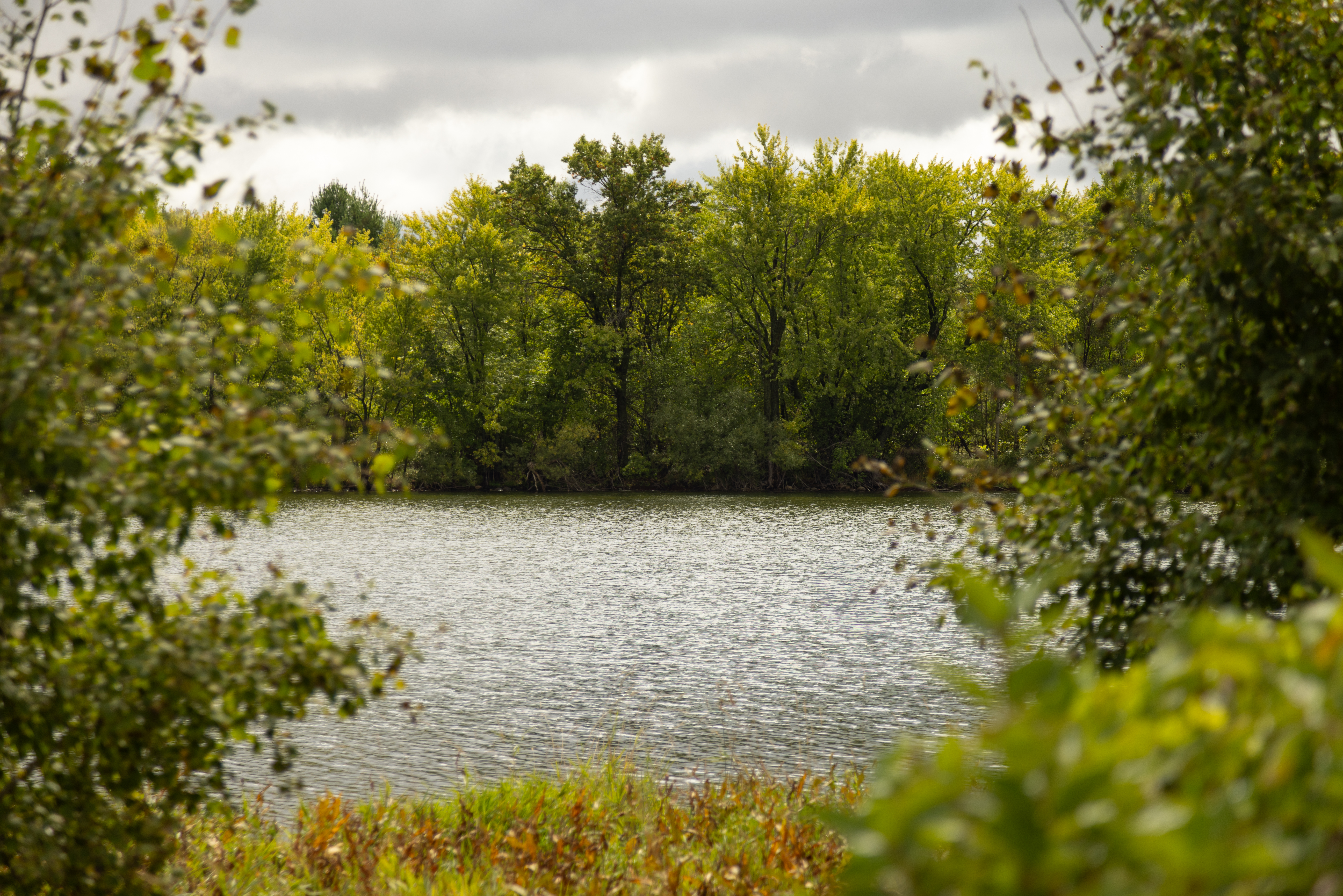
Markgrafs Lake
Markgrafs Lake
Lake Description
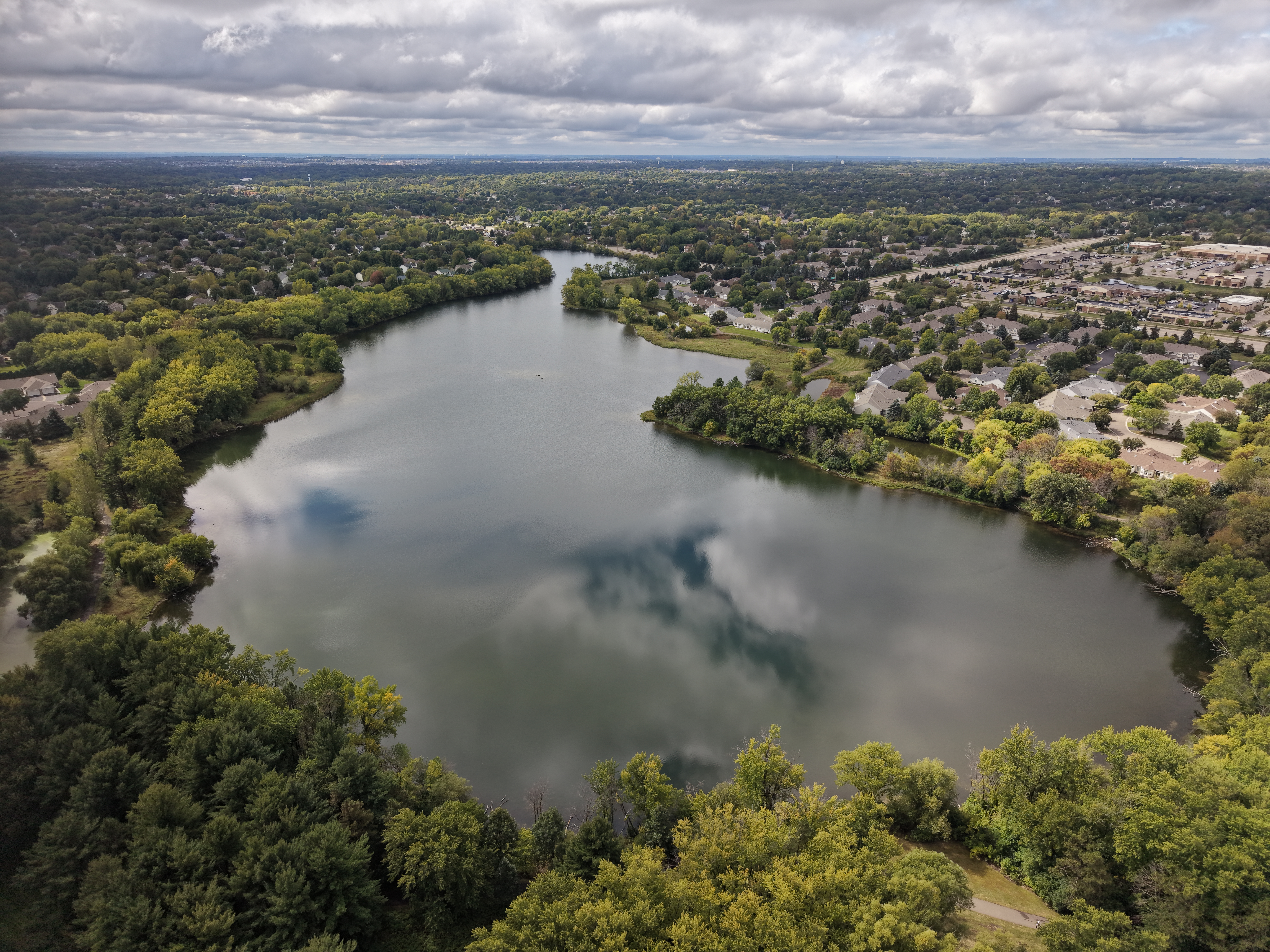
Markgrafs Lake is a medium sized lake located in a residential area of Woodbury. A shoreline trail surrounds the lake and is frequented by local neighbors.
Lake Details
| Location | Woodbury |
| Shallow/Deep | Shallow |
| Surface Area | 45 acres |
| Average Depth | 3 ft |
| Maximum Depth | 7 ft |
| Impairment Status | Impaired for nutrients since 2006 |
| Downstream Waterbody | South Wilmes Lake |
Water Quality in Markgrafs Lake
Markgrafs Lake is one part of a multi-lake system. When water levels are high enough, water flows from Markgrafs Lake through a storm sewer system, and discharges to Wilmes Lake South Basin. During an extreme storm, like a 100-year flood, water can be pumped to Powers Lake.
In general, Markgrafs Lake experiences high nutrient levels, contributing to algal blooms and poor water quality. Testing has shown the concentration levels of phosphorus and chloropyll-a have exceeded state standards. Water clarity has historically been poor. In the last decade, chloride has been added to regular monitoring. Chloride concentrations in Markgraf Lake have exceeded state standards.
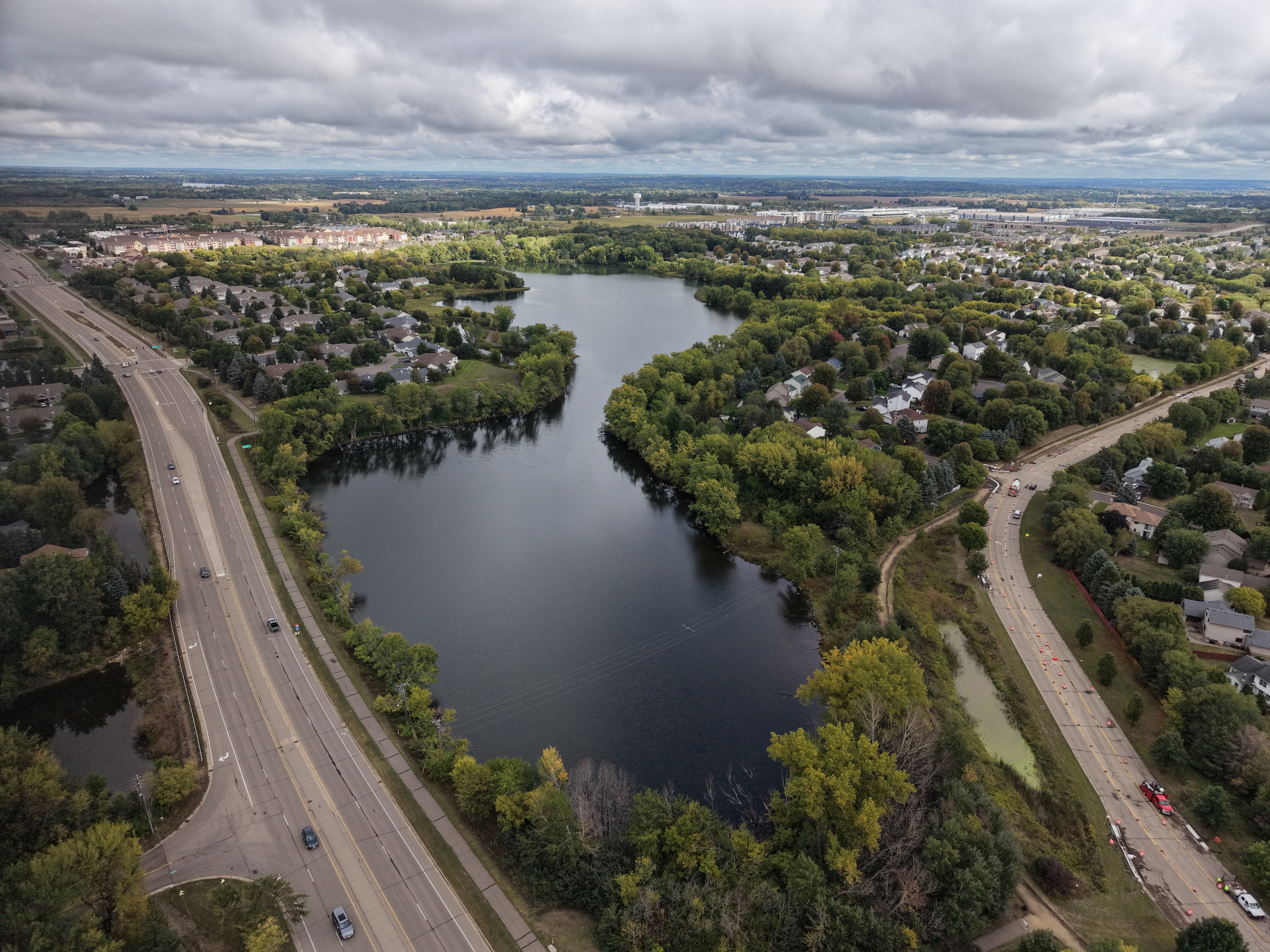
The Markgrafs Lake subwatershed contains many major roadways, commercial developments, and residential neighborhoods. This means that much of the subwatershed is impervious surface, like roads, sidewalks, driveways, roofs, and parking lots. An impervious surface cannot be penetrated by water, meaning water runs off the surface. This is how stormwater is generated. As the water flows, it picks up fertilizer, trash, pet waste, fallen leaves, grass clippings, chloride road salt, and car waste. All of these things contribute to high levels of nutrients that cause algae blooms and creates poor water quality.
Monitoring Data
Markgrafs Lake Fisheries
There are no MNDNR fish survey or stocking data available for Markgrafs Lake. For more information about fish consumption advisories, visit the Minnesota Department of Health Fish Consumption Guidance page.
Explore more waters
-
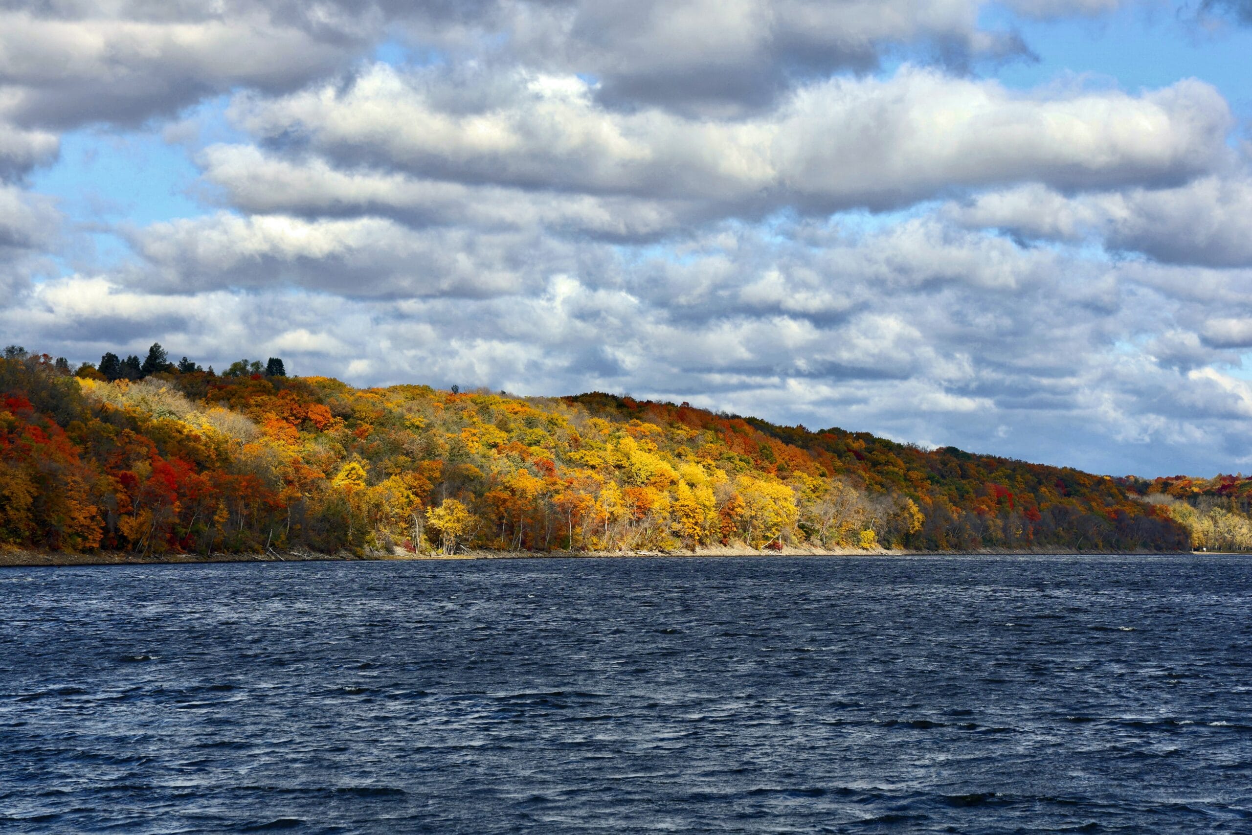
St. Croix River
The St. Croix River is a 169-mile ribbon of blue that forms the border between Minnesota and Wisconsin and offers myriad experiences to valley residents and visitors alike.
-
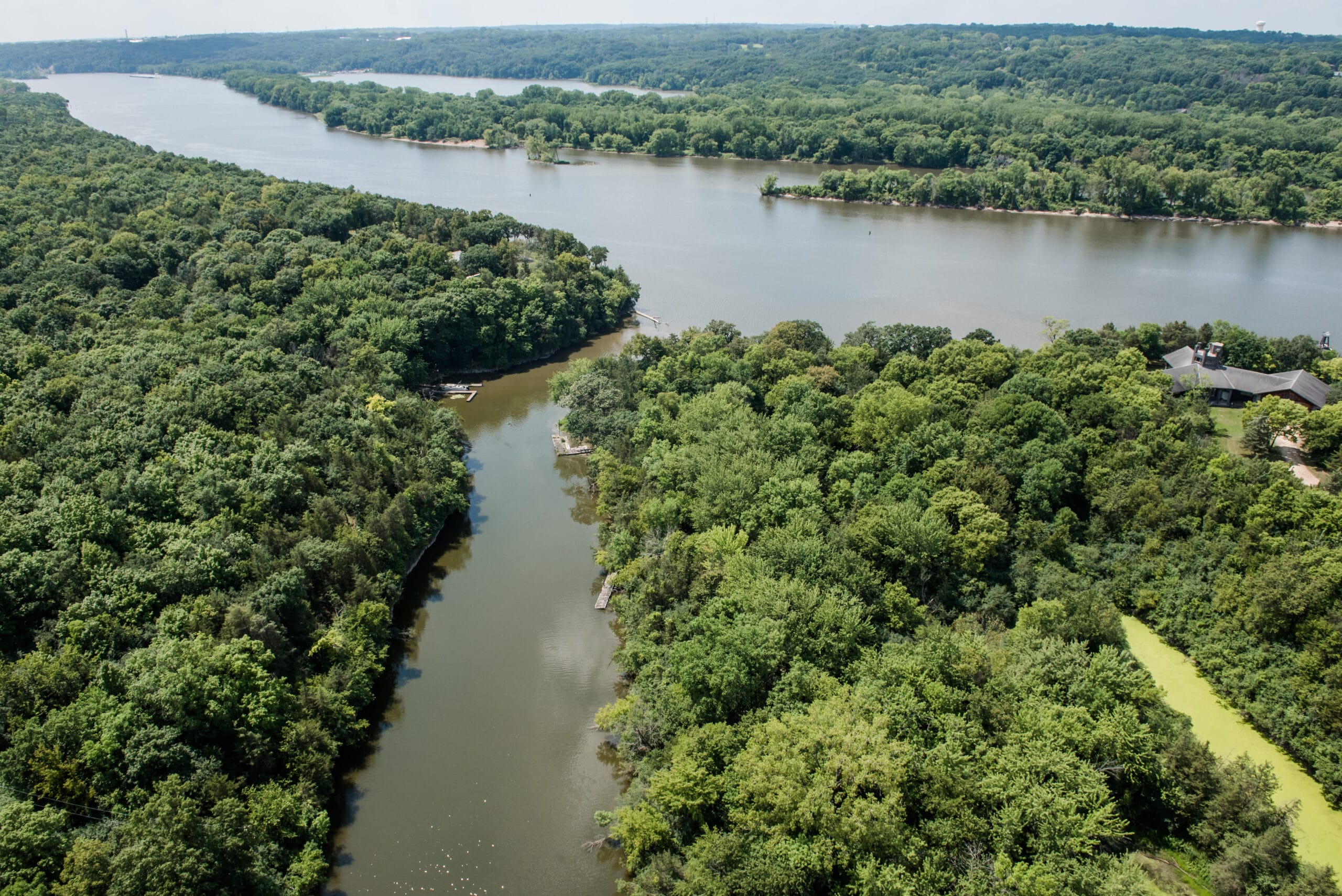
Mississippi River
The Mighty Mississippi begins its journey in northern Minnesota at Lake Itasca and flows 2350 miles to the Gulf. Along the way, the river passes through ten states and provides drinking water to fifty major cities.
-
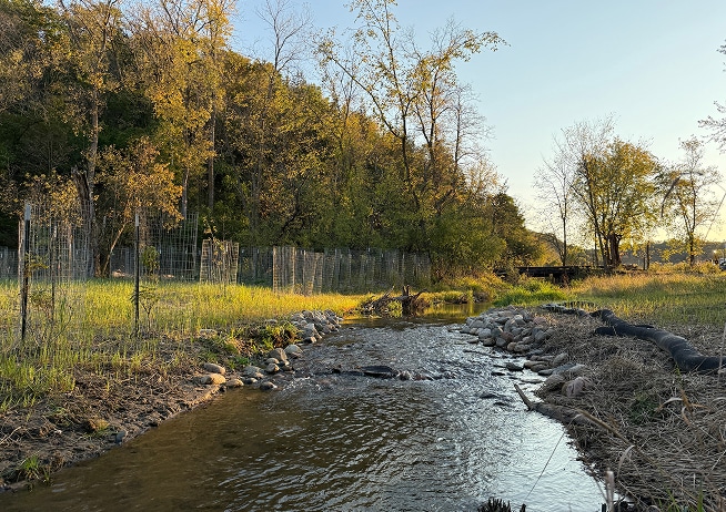
Trout Brook
Trout Brook is a small, coldwater stream that starts just east of Manning Avenue and flows through the hills of Afton Alps and Afton State Park to the St. Croix River.