
Powers Lake
Powers Lake
Lake Description
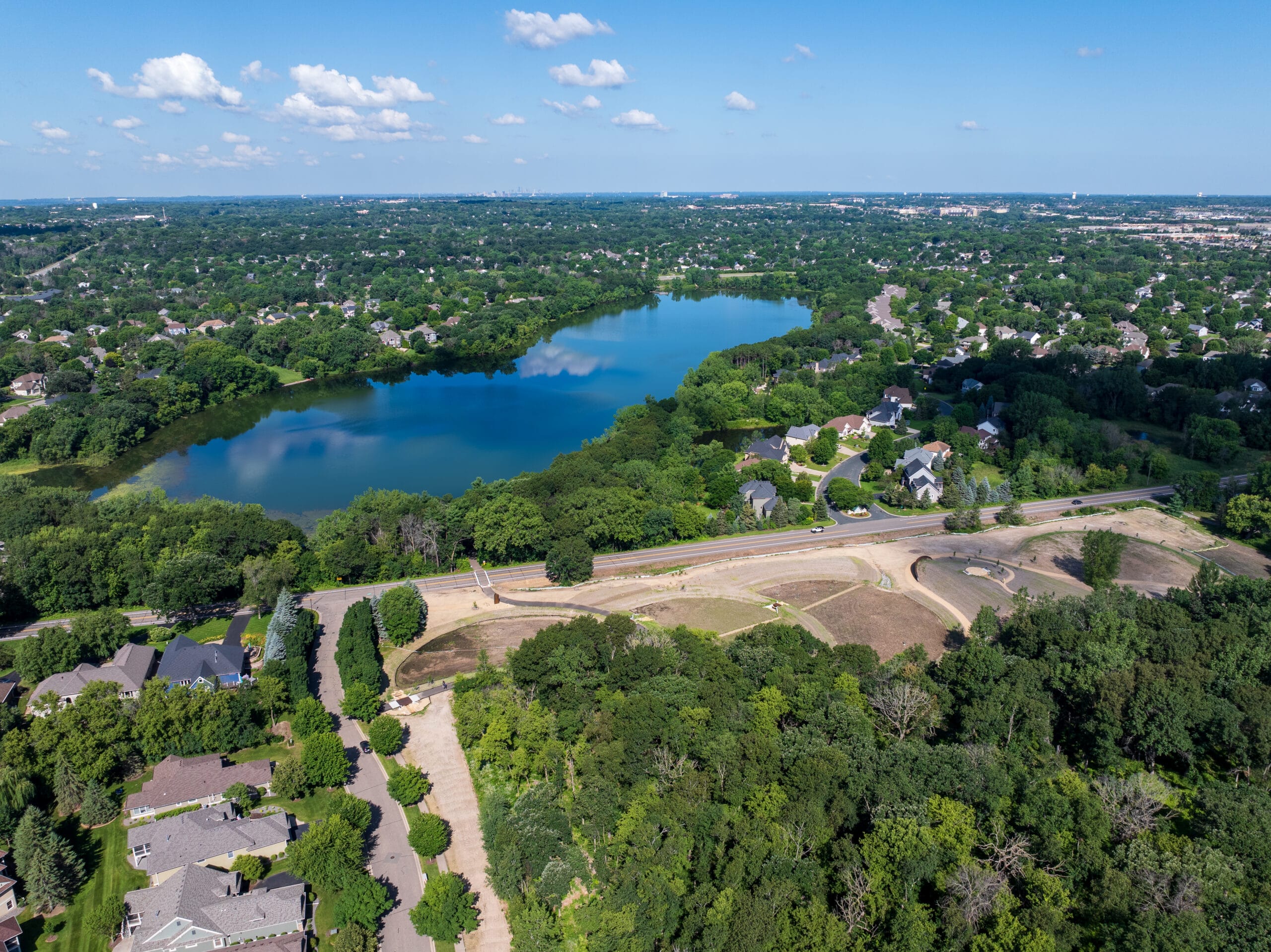
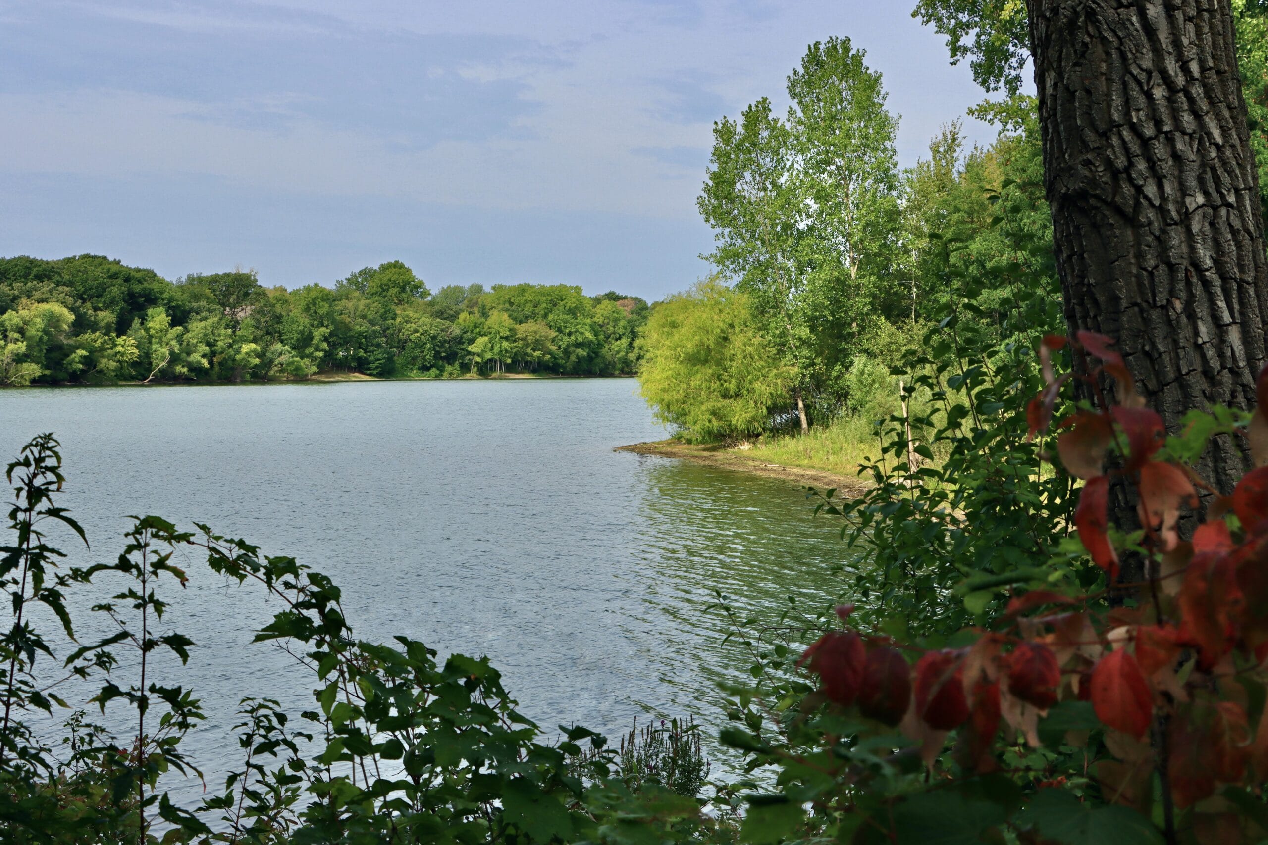
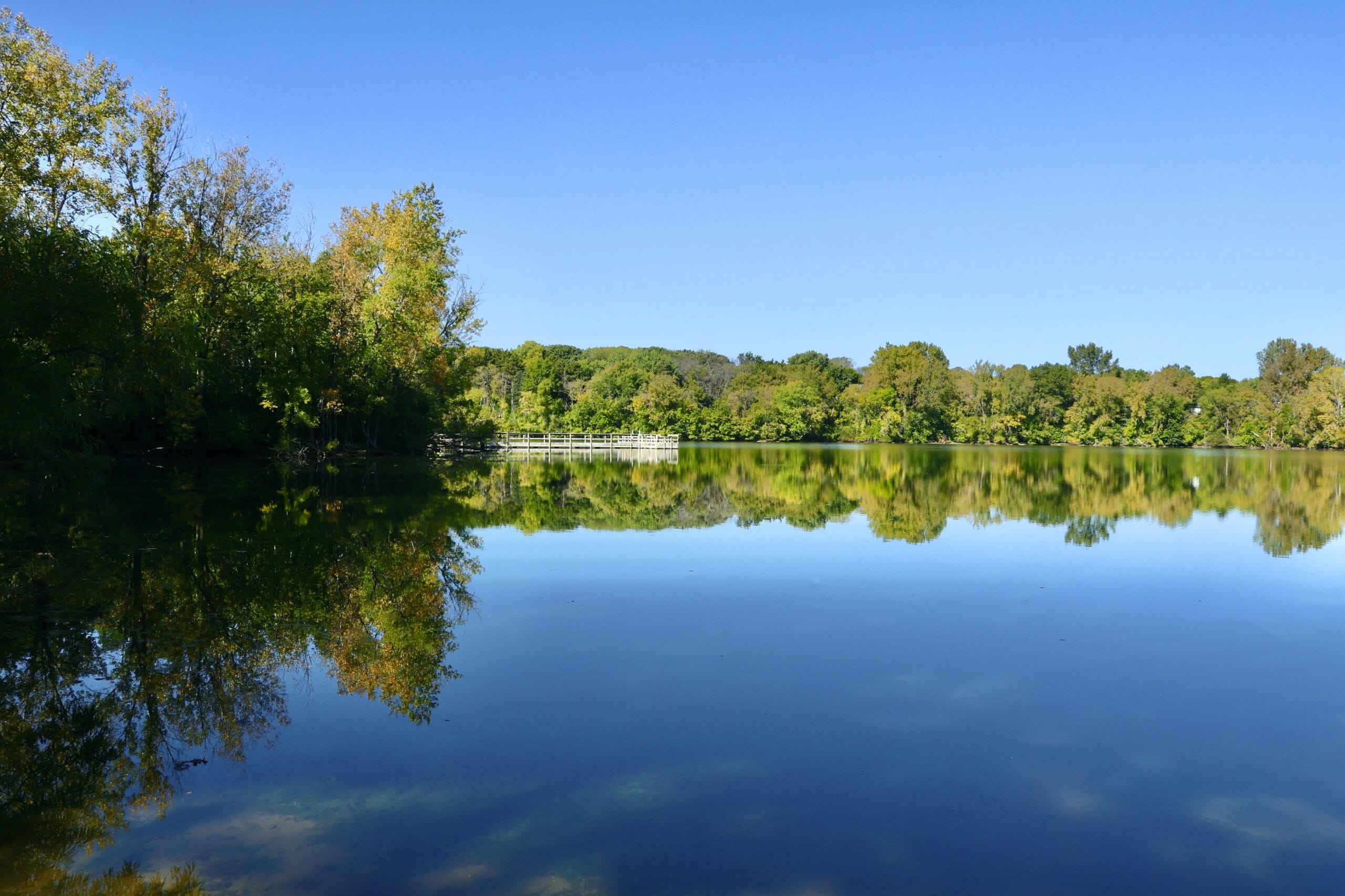
Powers Lake is a large, 61 acre lake in a residential neighborhood of Woodbury. Powers Lake Park makes up the northwest edge of the lake, and is a popular destination for local visitors, walkers, and anglers. This lake is designated as a Fishing in my Neighborhood lake by the Minnesota Department of Natural Resources and features a pier where several Minnesota native game species are seen. Powers Lake is the deepest lake in the watershed.
Lake Details
| Location | Woodbury |
| Shallow/Deep | Deep |
| Surface Area | 61 acres |
| Average Depth | 19 ft |
| Maximum Depth | 36 ft |
| Impairment Status | Unimpaired |
| Downstream Waterbody | South Wilmes Lake |
| DNR FiN Lake | Yes |
Water Quality in Powers Lake
Powers Lake is in Woodbury and is used for both active and passive recreation, as well as wildlife viewing. It is one of the upstream lakes in a multi-lake system. When water levels are high, water is pumped from Powers Lake through a storm sewer system, which then flows to South Wilmes Lake. The lake covers about 61 acres, with a maximum depth of 36 feet and an average depth of 19 feet. Because it is fairly deep, aquatic plants only grow in the sunlit areas, and the lake usually mixes from top to bottom twice a year, which is typical for a dimictic lake.
Powers Lake does not have an impaired status; however, it is actively monitored by SWWD. In Minnesota, all waters are assessed by the Minnesota Pollution Control Agency (MPCA) for water quality. Waters that don’t meet the standards of the Clean Water Act or uphold the water bodies’ designated use are denoted as Impaired. The list of impaired waters is published every two years.
Powers Lake is also monitored for chloride and has consistently tested below the MPCA chronic standard of 230 mg/L.
Chloride is the chemical most commonly used in deicing products like road salts. However, chloride is a problem, impacting water quality, wildlife, soil, and even drinking water. To learn more about the impacts of chloride and find out what you can do to reduce your impact, visit the Chloride information page.
What is an impaired waterbody?
A waterbody is considered “impaired” if it doesn’t meet one or more water quality standards. In Minnesota, water quality standards protect lakes, rivers, streams, and wetlands by defining how much of a pollutant can be in the water before it is no longer drinkable, swimmable, fishable, or otherwise usable.
Types of Water Impairments:
- Mercury – High levels lead to fish consumption advisories
- Nutrients – Such as phosphorus and nitrogen, which cause algae blooms
- Sediment – Sediment-heavy water is known as turbid, and restricts the light needed for aquatic life
- Bacteria – Water can become unsafe for swimming if contaminated with bacteria such as E.Coli
- Unhealthy Conditions – Fish and macroinvertebrates are essential to a healthy aquatic system; a waterbody can become unhealthy to the point of impairment
- PFOS & PFAS – High levels of perfluorooctane sulfonate (PFOS) and polyfluoroalkyl substances (PFAS)
- Sulfate – A waterbody impaired for sulfates harms the biological production of wild rice
Monitoring Data
Protecting Powers Lake
Just east of Powers Lake lies a large stormwater pond, created during residential property development. The pond, often called “Fish Lake” collects stormwater runoff from much of the Powers Lake watershed, including nearby neighborhoods. Stormwater sends many nutrients, like phosphorus, nitrogen, and chlorides from road salts, to nearby Powers Lake. These nutrients can lead to increased algal blooms and chloride pollution.
To protect Powers Lake from pollution, the SWWD built Hasenbank Stormwater Park, bringing together the best of water quality treatment, ecosystem restoration, and a neighborhood park, all in one.
Learn more about the Hasenbank Stormwater Park Project
Explore more waters
-
Armstrong Lake
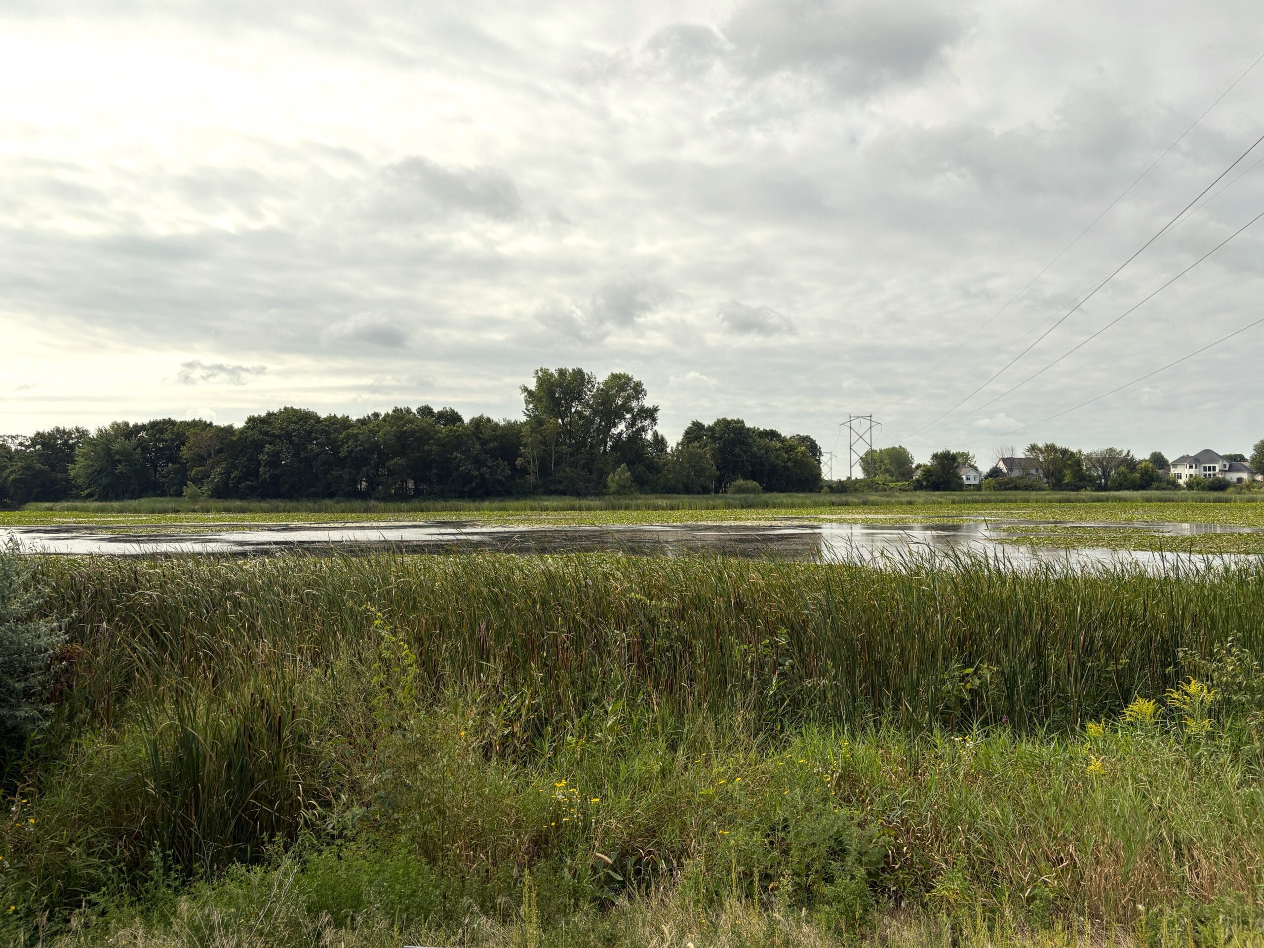
Armstrong Lake is made up of a northern and southern portion located across two cities. The northern portion is located in Lake Elmo, MN. The southern portion is located in Oakdale, MN.
-
Bailey Lake
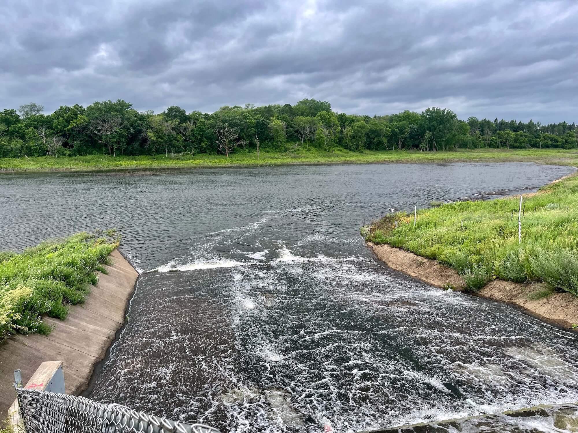
Bailey Lake is a historically dry lake that has even been used as farm land. Today, Bailey Lake now permanently holds water as a result of increased development throughout the area.
-
Colby Lake
Colby Lake is a shallow lake located in Woodbury. It is part of a multi-lake system, receiving water from Wilmes Lake to its north and contributing water downstream to the Bailey Lake wetland.